This map shares the ecological baseline information that we collected to begin the River Ericht Catchment Restoration Initiative. This is important data that reveals the habitats that exist in the catchment today (2024).
You can also find information on the population, cultural heritage and place names. In the next stage of the initiative, we will be undertaking a baseline survey on the human communities that live and work in the catchment. This will include key social, cultural and economic metrics which will complement the ecological baseline.
Both baselines will allow us to begin conversations with landowners and communities about what kinds of nature restoration might be possible and report on the changes and impact of all the restoration work on the human and biotic communities who live in the catchment over time.
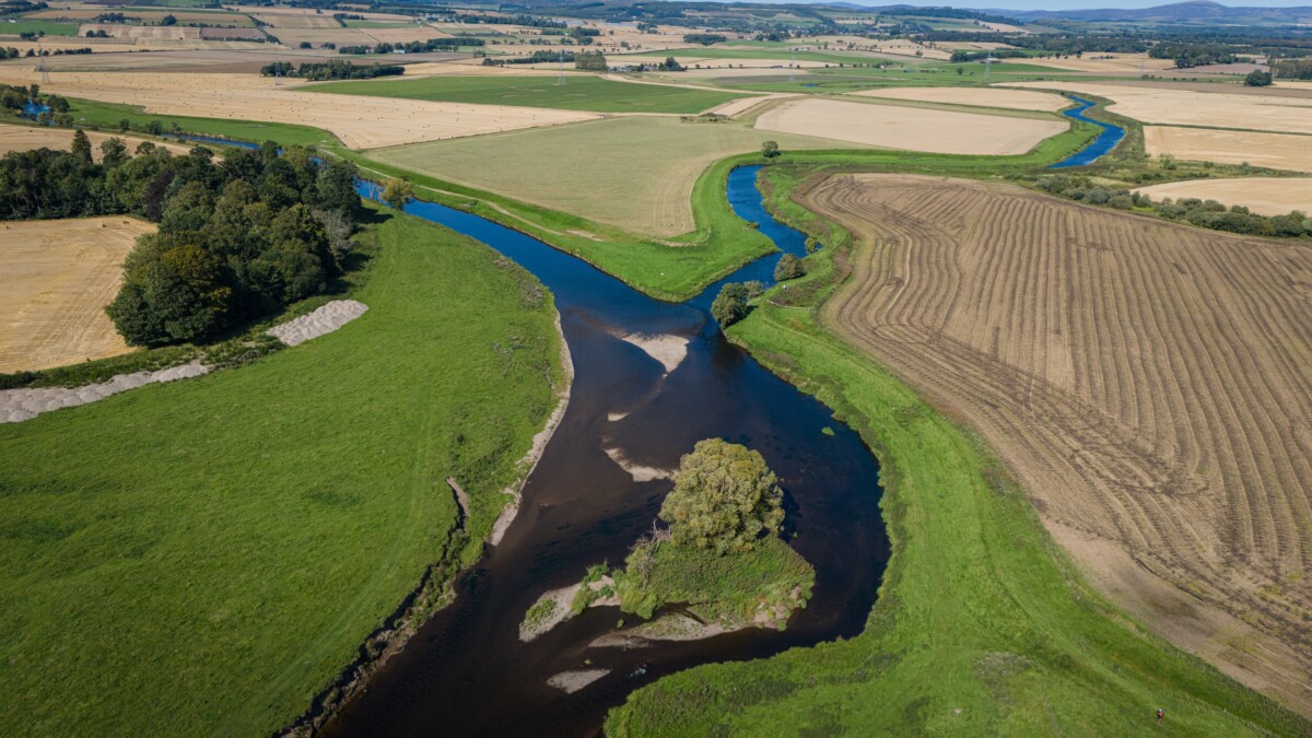
The confluence of the River Ericht and the River Isla on Strathmore, photo Markus Stitz