Our fourth Learning Journey event focused on the role of Participatory Science in ecosystem restoration. Participatory Sciences, including Civic Science, Citizen Science and Community Science involve communities co-producing new knowledge about the places where they live and work.
This community and participatory process, which can involve collecting place-based ecological and physical data alongside social and cultural information has the potential to offer new kinds of map making, community engagement and help influence decision making, which can help us to:
- explore the health of our natural infrastructure in the past and the present
- understand different functions and processes in our landscapes, how they have changed over time and how these changes have affected both human and biotic communities,
- capture information on landscape changes happening now as a result of climate change and biodiversity loss
- see patterns and links that reveal the whole ‘system’
And of course, mapping assets and resources, both human and biotic, can begin to exert new power and new agendas about their development.
We invited three contributors to share their stories about participatory science projects that they were involved with, offer their perspective on how they might empower communities to act in light of the climate and biodiversity crises we face, and suggest how can these practices be scaled up to help us achieve the social-ecological system transformation we need.
Team Zostera: Casco Bay’s Seagrass Stewards
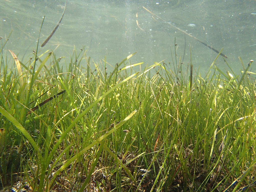
Glenn Page, Global Lead of COBALT (Collaborative for Bioregional Action Learning and Transformation) in USA State of Maine, who has been working with leaders from across the globe in helping people understand governance response to ecosystem change, kicked off the event by telling us about an emerging project in the Gulf of Maine (US and Canada and Tribal Nations) that was looking at mapping and documenting the health of eelgrass meadows in Casco Bay.
Distributed globally, healthy seagrass meadows are extremely important to our survival as they provide multiple ecosystem benefits: they support marine biodiversity, help to absorb wave energy, stabilize sediments, sequester carbon and nutrients, and serve as a filter within the water column. But they are being lost at an alarming rate and Team Zostera was formed to learn how to better see, monitor and restore them in partnership with government, business and academic partners.
Glenn took us through the early consultation phase of the long term initiative, named Team Zostera after Zostera marina, the local eelgrass species, which involved people from many different backgrounds and disciplines working together to develop a launch strategy. They launched Team Zostera as part of a week-long Casco Bay Bioregional Learning Journey in August 2022 which included members of Bioregioining Tayside to further align the two efforts.
Glenn described the vision of the long-term initiative to align closely with other citizen science efforts and seagrass mapping initiatives in the greater Gulf of Maine as well as elsewhere across the globe and recognized that their first step was to do some thoughtful engagement and outreach to learn from what others were doing. They also needed to identify if this was feasible from a safety and logistics perspective as it involved some rather technical SCUBA diving, and, to determine if there was interest from other volunteers and interested agency partners. Through this due diligence, Glenn reported a strong confirmation as Team Zostera was filling an important niche that no other entity was doing and core partners felt this work would contribute to a better understanding of the dynamic and complex Casco Bay ecosystem. As part of this early phase, they remained in close contact with key leaders in the field of seagrass research, leaders in citizen engagement/stewardship in Casco Bay and those leading regulatory efforts associated with eelgrass meadows. The results were encouraging as they explored issues of logistics, dive safety, quality assurance/quality control of the data gathering, target sites, reference sites, white shark presence, key management questions, and further evaluated the potential demand and willingness for public participation into the future. There was strong recognition that this must not be a short-term effort and instead needed to be a long-term commitment for the data to be valuable and useful as contributions to management decisions.
As an update, Team Zostera has completed its initial year of data gathering and are planning a COBALT Fellowship program from January – July 2023 to engage people from Canada, Maine and Tribal Nations to document what we know about mapping, monitoring and restoration of seagrass meadows and specifically how Team Zostera can be a model for public engagement of community science. According to Glenn, here are three key learnings from the start-up phase:
- FIND AN ECOSYSTEM THAT HELPS TO TELL THEY STORY: Seagrass meadows are an ideal ecosystem type to help inspire bioregional thinking and stewardship action in the coastal zone. Even though they are largely invisible to the public – this effort has the potential to inspire and engage people in stewardship action that goes far beyond the inspiration of any individual group or agency.
- MOVE AT THE SPEED OF TRUST: Team Zostera worked with many of the agencies who care about seagrass meadows to be sure what they were planning was considered valuable and not duplicative. This work took a great deal of time and moved slowly but also was punctuated by bursts of action that moved at a pace that was based on the importance of trust-building. This is central to the work.
- PRACADEMIC WORK: Team Zostera is rooted in a deep understanding of the current science of mapping monitoring and restoration of seagrass meadows – AND -focused on the actual practice of doing it with members if the community which adds both challenges and opportunities. Such blending of the practice with the academic, is an important role for bioregioning organisations to explore and build the confidence and collaboration with both academic partners as well as leaders of business, civil society and government.
By weaving these core concepts together, Team Zostera is now developing a wide range of activities to grow participatory science and unleash its potential to enhance resilience of the bioregion including comedy nights, ultimate frisbee, computer gaming meets bioregional mapping and learning journeys all to expand the “tent” so people feel welcome as they are invited in.
You can follow the Team Zostera story and find out more here:
Glencripesdale Nature Reserve
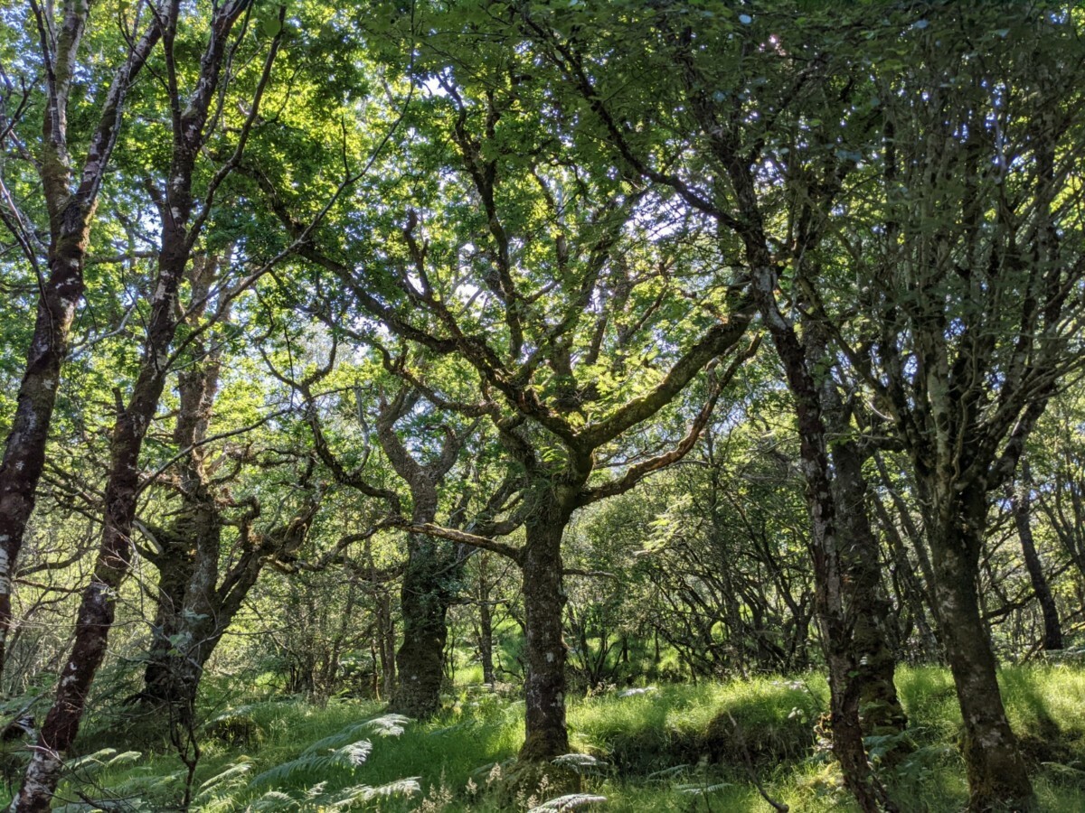
Hannah Rudman, Reader and Co-Director of SRUC’s Thriving Natural Capital Centre then introduced us to a new RSPB initiative just starting at Glencripesdale, a former National Nature Reserve located on the tip of the Morvern Peninsula on the south shore of Loch Sunart following their purchase of the site from NatureScot.
The Reserve is part of Scotland’s rainforest, a very rare habitat that is under threat.
Far less well known than their tropical counterparts, they are just as special in terms of biodiversity and even rarer with just 1% of the planet having suitable conditions for the habitat.
In good condition, one hectare of temperate rainforest can contain as many as 200 species of lichen and 200 species of mosses and liverworts. They also support a wide variety of insects and birds including some specialists such as wood warbler that are mostly found in this type of woodland.
With much of Scotland’s rainforest already lost and the remnants highly fragmented, these habitats are often in need of restoration due to impacts from invasive species such as Rhododendron Ponticum and pressure from too many deer. Deer eat young seedlings and can prevent natural regeneration. Tackling these challenges can be particularly hard in remote areas.
Glencripesdale is a significant piece of the fragmented jigsaw and will play an important role in the RSPB’s ambitions to work at a landscape scale to address the common challenges facing these woodlands.
Hannah shared information about some of the technology platforms that are likely to be deployed as part of this important restoration project, including the possibility of raising funding for it by sponsoring a square through W3W. This could offer basic annual reports of your sponsored square right through to more bespoke packages depending on the level of your sponsorship. She also described some of the many digital devices that can be deployed to monitor biodiversity by participatory scientists from camera traps to acoustic recorders.
Her message was that technology was both rapidly advancing and becoming more easily available and that these new tools are already influencing the scientific research process by streamlining data collection, improving data management, automating quality control, and expediting communication, all of which could help to step change what participatory science could contribute to ecosystem restoration, if they were utilised at scale.
Bioregioning Tayside – monitoring landscape changes with community science
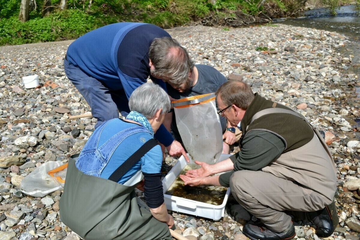
Our final contributor was Ella Hubbard, PHD Candidate in the University of Sheffield’s Geography Department who has been working with Bioregioning Tayside to develop a NatureScot supported pilot, which is looking at how community science can help monitor landscape change in the Tayside region.
Ella explained that Bioregioning Tayside has intentionally chosen the community science frame because of its community driven and community controlled ethos. It is useful to note the difference between community science with the more commonly used concept, citizen science. Citizen science is typically instituted not by a community but by a researcher or team of researchers outside the community – i.e., it is driven by scientific professionals and experts.
In contrast, community science is led by the community, which chooses whether or not to engage with any given scientific experts, whether internal or external. Further, the context in which community science emerges is strongly associated with the social-ecological system in which a community is embedded, including a set of shared beliefs, a strong connection to place and the self-organizing properties of the community from which iterative social learning arises.
The Bioregioning Tayside project is beginning with mapping civic science, citizen science and community science projects in Tayside in order to understand how these fields of practice are being utilised, what methodologies are being used, where the data is being sent, how it is being used and by whom. The aim is to have completed this task by the end of 2022 with the results of the mapping together with an articulation of the full project behind the mapping being published via an ArcGIS Story Map.
The project is also investigating whether, and if so how community science can contribute to the next round of Local Development planning through Local Place Plans. These are community-led plans, setting out proposals for the development and use of land and can include sites that support climate change adaptation, local initiatives for the promotion of active travel and community food growing and conservation of the natural environment. Once they have been registered by the planning authority, there is a legal responsibility to take them into account in the preparation of the Local Development Plan.
Research is ongoing to identify a new digital platform, which will enable participatory science projects across Tayside to connect and collaborate and there are plans to bring stakeholders together on a regular basis.
Finally, in partnership with the Cateran Ecomuseum, the project is fundraising to deliver x3 projects that show how community science can offer opportunities to take people through the process of understanding and valuing landscapes, and planning, managing and monitoring landscape change, particularly in relationship to flooding.
All this work will then hopefully lead in to the development of a new governance structure for participatory science in Tayside, one which links grassroots organizing, socially situated data collection, and accessible technology, harnessing it in the service of community empowerment and resilience. Rewiring the way we organise, govern and show up together will be critical to a viable future and it is already clear from the work this project has undertaken so far that whilst there is a lot going on in the field of participatory sciences in our Bioregion, it is fragmented, disconnected and very underfunded. This hugely valuable work involving so many civil society actors could be much better harnessed in helping us make that leap to a more liveable world.
Resources:
This blog post by Shannon Dosemagen is a historical synopsis of the evolution of the terms “civic science” and “community science”. The section ‘Where Do We Go From Here’ is an important read and one that will be informing Bioregioning Tayside’s work in this field.
This is an excellent paper by Anthony Charles, Laura Loucks, Fikret Berkes and Derek Armitage about Community Science and an inspiration for Bioregioning Tayside’s framing for its work.
